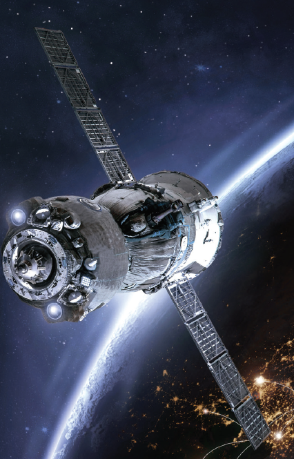
How space technology can help us save lives
If we are determined to save people from natural disasters, we must keep investing in satellites which enable us to see our planet, since satellites provide us with crucial information about the earth.
Not only do satellites enable us to accurately predict weather conditions, but they also help us in mapping areas hit by natural disasters such as hurricanes, floods, wildfires and droughts. Using the information from satellites, we can prioritise who to save and what to provide during natural disasters.
By analysing satellite images, we can plan budgets and direct funds towards disaster prevention. We can also study how small storms can develop into huge hurricanes, and this can help us better understand how quickly a small danger can become a deadly threat.
By mapping the path of storms from space, we can issue warnings to people and plan relief efforts to those who might be affected. Using this intelligence increases the probability of saving as many people as possible.